Mississippi River
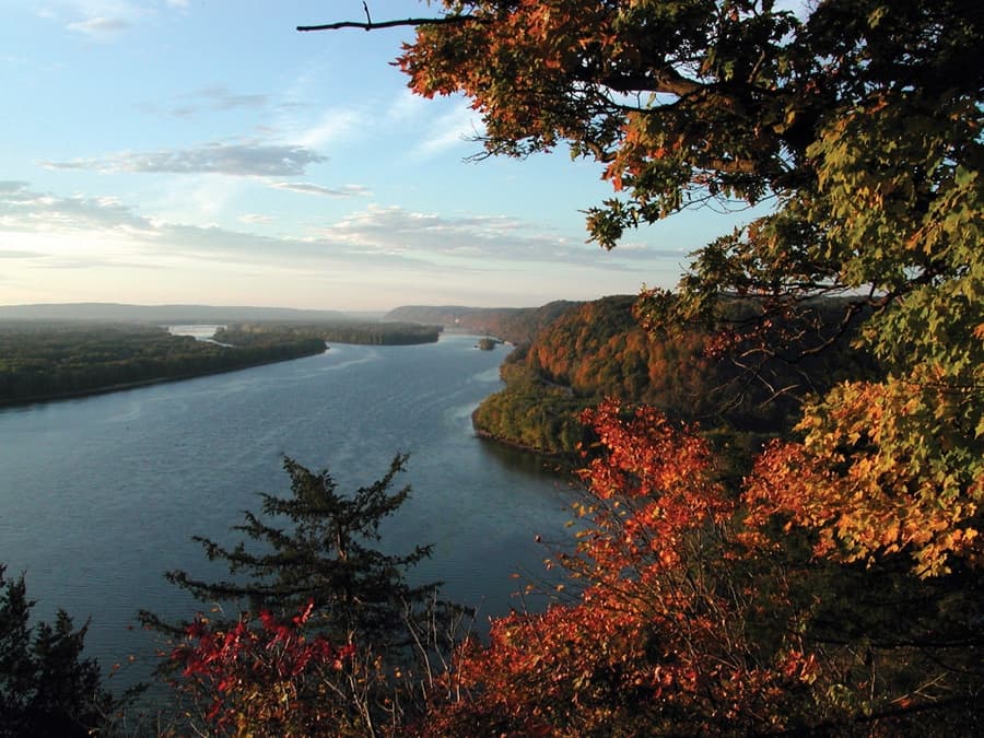
About Mississippi River
The Mississippi River is the primary river of the largest drainage basin in the United States. It is the second-longest river in the United States, behind only the Missouri. From its traditional source of Lake Itasca in northern Minnesota, it flows generally south for 2,340 mi to the Mississippi River Delta in the Gulf of Mexico. With its many tributaries, the Mississippi's watershed drains all or parts of 32 U.S. states and two Canadian provinces between the Rocky and Appalachian mountains. The river either borders or passes through the states of Minnesota, Wisconsin, Iowa, Illinois, Missouri, Kentucky, Tennessee, Arkansas, Mississippi, and Louisiana. The main stem is entirely within the United States; the total drainage basin is 1,151,000 mi2 (2,980,000 km2), of which only about one percent is in Canada. The Mississippi ranks as the world's tenth-largest river by discharge flow, and the largest in North America.
On the show · 10 mentions total
The Mississippi River Basin Model was built at Clinton, Mississippi, because the river kept flooding, including the worst flood in US history in 1927.
from No Such Thing As The Ken Ages · read transcript
More facts about Mississippi River
The Mississippi model was so big you could only see it all from a four-story observation tower, and one gallon of water in it represented 1.5 million gallons in the real world.
425: No Such Thing As The Ken Ages · listen
Five minutes of water running through the Mississippi model simulated an entire day of the real river.
No Such Thing As The Ken Ages · listen
More places from this episode
No Such Thing As The Ken Ages put 2 places on the map.
- Covent Garden Opera House · United Kingdom
Coordinates: 29.1511, -89.2533